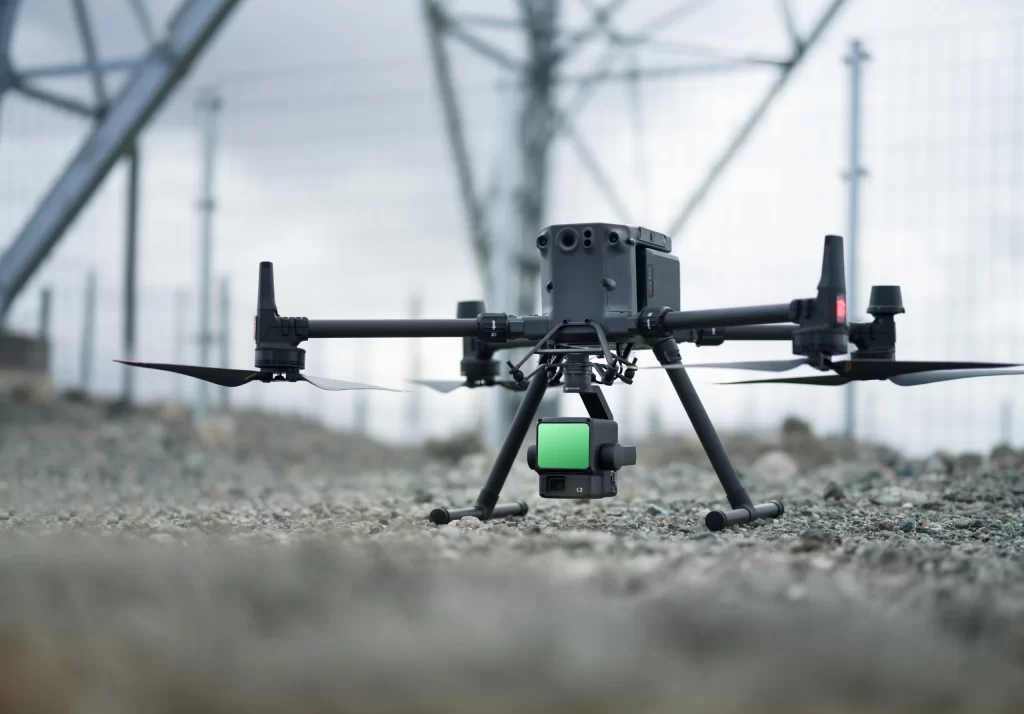
Drone LiDAR technology has been a game-changer for environmental management in recent years. Drones fitted with Light Detection and Ranging (LiDAR) sensors are changing the way we study forests, wetlands, and other natural areas. High-resolution topographic data acquisition, which is vital for evaluating vegetation, tracking animal habitats, and knowing land erosion patterns, is one of the main advantages of deploying drones in these settings. When coupled with drone survey service, this technology offers precise, thorough 3D maps that support sustainable land management methods and environmental preservation initiatives.
Drone LiDAR for Efficient Building and Construction
Drone LiDAR technology has another useful application in the architecture and construction sector. Increasingly, drones are being utilized to provide exact digital models of current buildings or land areas for prospective projects. Companies can quickly collect data for the planning, design, and analysis of construction projects using an aerial lidar survey. In a fraction of the time it would take for conventional ground-based surveys, LiDAR-equipped drones record millions of data points. Especially for big and complicated construction sites, this results in notable time and cost reductions as well as precise, real-time data for decision-making.
Environmental Control and Forest Management
By offering real-time, thorough study of forest structure, biomass, and tree canopy height, Drone LiDAR technology is transforming forest management. Forestry managers use this information to maximize timber harvesting, track forest health, and evaluate how climate change affects ecosystems. Including drone survey services in forest management methods allows professionals to obtain more precise data without harming the forest floor or wildlife. Moreover, LiDAR data may be utilized to find biodiversity hotspots, follow deforestation, and track regeneration activities, hence supporting sustainable forest management projects.
Drones for Farmland Optimization: Precision Agriculture
Another field that gains much from drone LiDAR uses is precision farming. Drones can offer insightful analysis of general land quality, crop health, and soil composition. Farmers may produce thorough topographic maps of their property using LiDAR technology, enabling them to control irrigation systems more effectively and minimize soil erosion. Accurate data helps farmers maximize planting patterns, control water resources more efficiently, and reduce the usage of pesticides and fertilizers. This leads to a more sustainable agricultural strategy that enhances environmental results as well as crop production.
Restoration of Wetland and Habitat Conservation Activities
Projects for habitat restoration and wetland conservation also gain from drone LiDAR technology. While conventional techniques make wetlands often challenging to survey, drones can swiftly and effectively cover vast regions. LiDAR-equipped drones can assist conservationists monitor water levels, plant growth, and sediment deposition by mapping the changes in wetland areas over time with high-resolution data. Planning habitat restoration initiatives, assessing flood threats, and tracking the state of aquatic ecosystems all depend on this information, which helps to preserve biodiversity and ecological balance.
Land Rehabilitation and Disaster Response
Rapid evaluation and land restoration in disaster-affected areas are significantly aided by drone LiDAR technology. Drones fitted with LiDAR sensors can offer up-to-date, high-resolution topographic data of the impacted areas during natural disasters like floods, wildfires, or landslides. Evaluating building damage, spotting flood zones, and organizing land rehabilitation activities all depend on this knowledge. Being able to provide drone survey service in post-disaster situations speeds up recovery initiatives and helps governments and businesses restore the land to its pre-disaster condition and reconstruct it.
Conclusion
From forest protection to urban planning, drone LiDAR technology has proven to be a vital tool for many environmental management tasks. Drone surveys are changing the way we tackle environmental issues by providing more efficient, precise, and reasonably priced surveying tools. The advantages of drone LiDAR are obvious whether your plans call for a new building or habitat restoration efforts. Innovation in many sectors is still being driven by drone-building survey apps and drone survey services. Visit highexposure.com.au to investigate how drone LiDAR might improve your building or environmental initiatives.


